QFIELD
THE APP THAT MAPS YOUR WORLD
QField
Collect | collaborate | customise
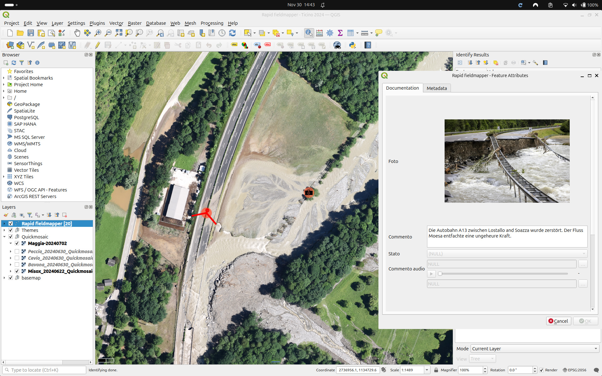
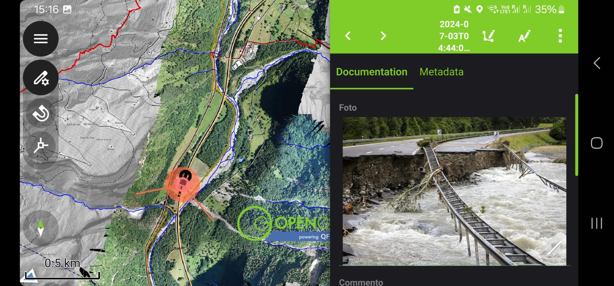
- 📍 Collect data — fast, accurate, offline
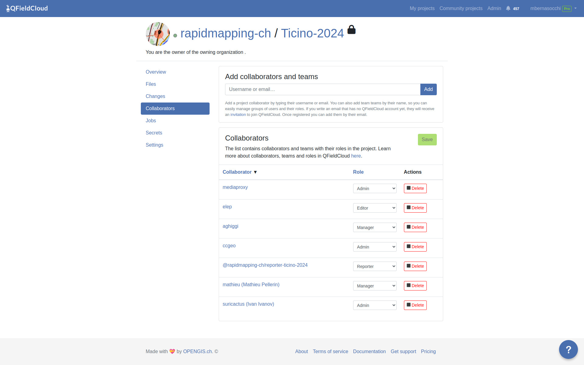
- ☁️ Collaborate — sync seamlessly with QFieldCloud
- 🛠️ Customise — forms, tools, plugins, your way
- 🌍 Forests, cities, infrastructure, disaster zones, …
Why QField?
Built for fieldwork. Trusted worldwide.
- ✅ Open source — no vendor lock-in
- 🧩 Seamless QGIS integration
- ⏱️ Saves time, fewer errors
- ☁️ Online + offline sync with QFieldCloud
- 📷 Richer data
- 💼 Used by NGOs, cities, researchers, and industries
Smart Maps
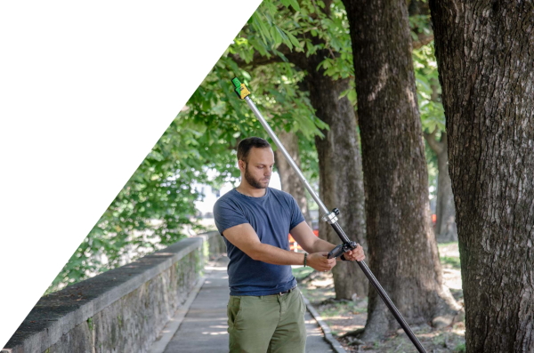
High-precision mapping anywhere
- 🗺️ Location tracking & geofencing
- 📍 Full QGIS symbology on mobile
- 🎯 Optimized for spatial field tasks

Powerful Forms
Complex logic, simple interface
- 📝 Build in QGIS, no coding
- ⚙️ Logic, constraints, defaults
- ✅ Clean, validated field input

Capture Everything
Media-rich data collection
- 📷 Photos & video
- 🎙️ Audio notes
- 🔍 QR codes & NFC scanning

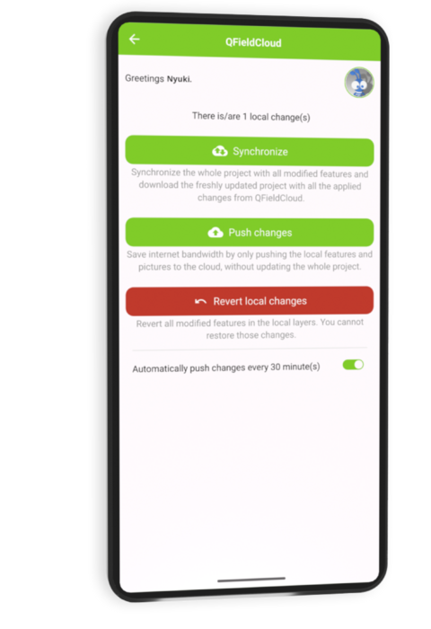
Seamless Sync + Format Support
Connected workflows, open formats
- 🔄 Sync with QFieldCloud
- ☁️ Work offline & online
- 📦 GPKG, KML, GPX, PDF, more
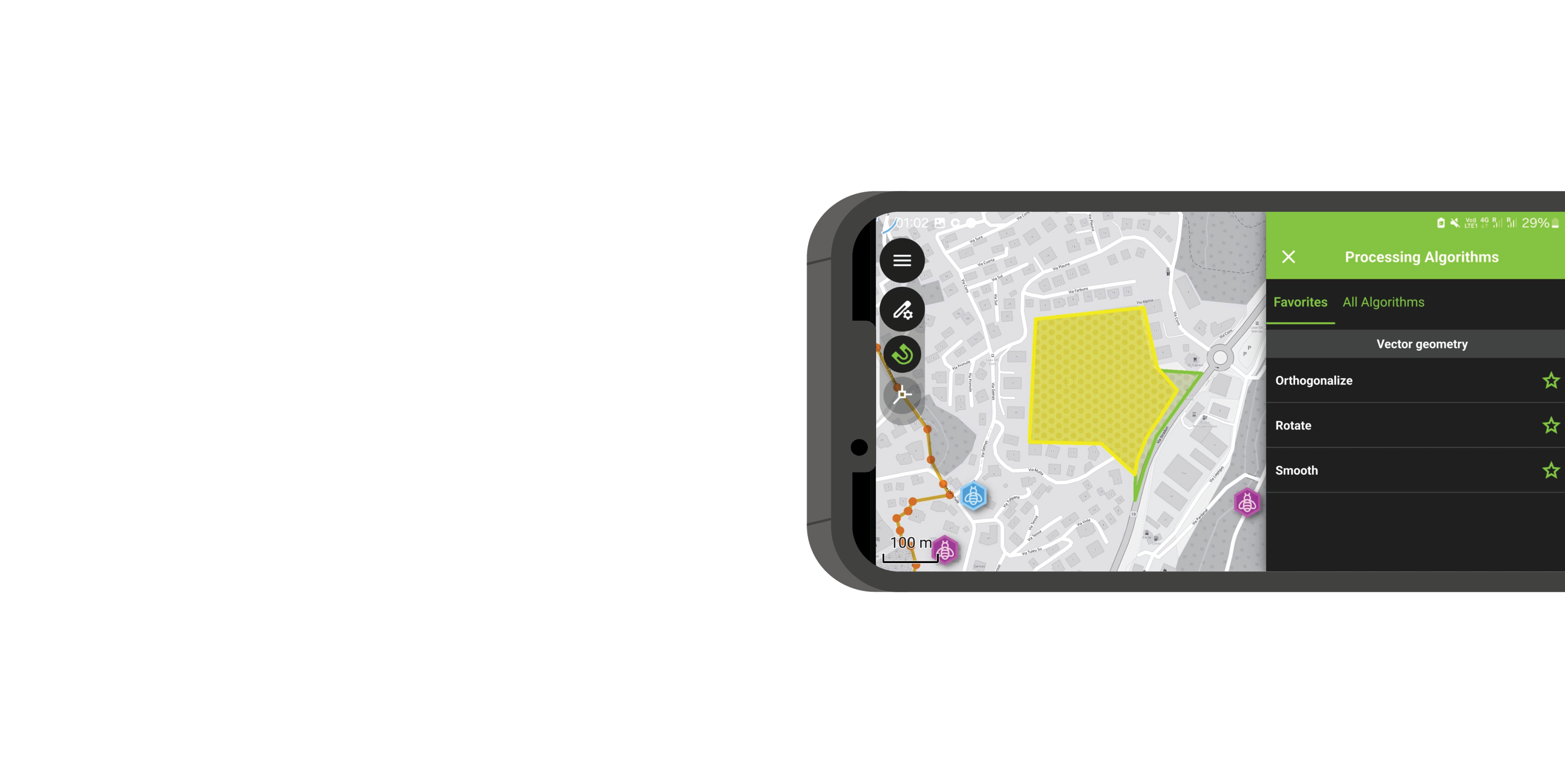
Editing & Processing Tools
True field editing power
- ✏️ Snap, draw, reshape
- 📐 Vertex editing
- 🧮 Geometry ops in the field

Plugin Support
Customize QField your way
- 🔌 QML & JavaScript plugins
- 🛠️ Custom workflows
- 🚀 Extend functionality as needed
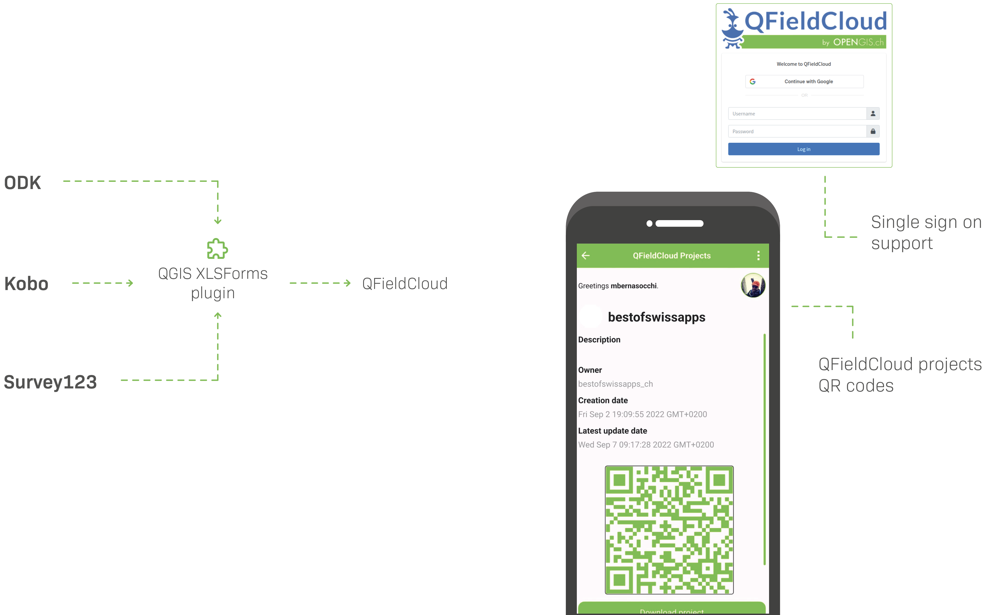
CONVENIENCE, CONVENIENCE, CONVENIENCE
Easily migrate your XLSForms into QField projects with our new QGIS plugin
Design project
in QGIS
Manage teams
with QFieldCloud
Get data
From QField
Publish data
With Georama/Geogirafe