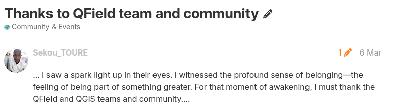
Open GIS for the SDGs
QGIS and QField in Action
Reality
Vision
Our Commitment to
Sustainability
Democratisation in GIS
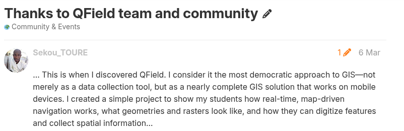
QField
Collect | collaborate | customise
- 📍 Collect data — fast, accurate, offline
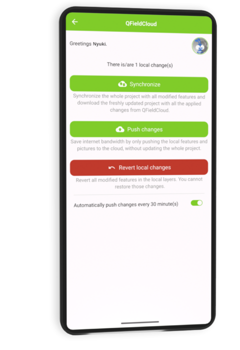
- ☁️ Collaborate — sync seamlessly with QFieldCloud
- 🛠️ Customise — forms, tools, plugins, your way
- 🌍 Forests, cities, infrastructure, disaster zones, …
Why QField?
Built for fieldwork. Trusted worldwide.
- ✅ Open source — no vendor lock-in
- 🧩 Seamless QGIS integration
- ⏱️ Saves time, fewer errors
- ☁️ Online + offline sync with QFieldCloud
- 📷 Richer data
- 💼 Used by NGOs, cities, researchers, and industries
Standing on giants
Spatial without compromise
QGIS AT A GLANCE
- 🌍 Used by millions worldwide — across cities, forests, disaster zones, farms, …
- 💻 Runs on Linux, Windows, macOS — and Android, iOS via apps
- 🗣️ Available in 100+ languages thanks to our global community
- 🔁 Updated every 4 months with regular releases
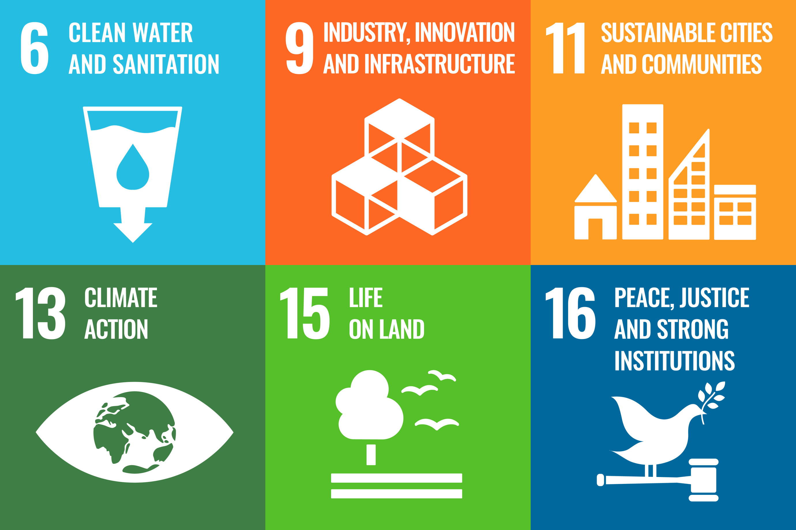
QGIS IS A DIGITAL PUBLIC GOOD
- ✅ Officially recognized by the Digital Public Goods Alliance in 2025
- 🎯 Meets DPG standards: open-source, privacy-respecting, inclusive, and aligned with the UN Sustainable Development Goals (SDGs)
- 🌱 Supports global causes: climate action, urban planning, disaster response, public health
- 🧩 Strengthens QGIS’ role in international cooperation — especially with governments, NGOs, and educational institutions
- 🙌 Reinforces our commitment to building digital infrastructure that’s open, accessible, and ethical
QGIS 4.0
is here
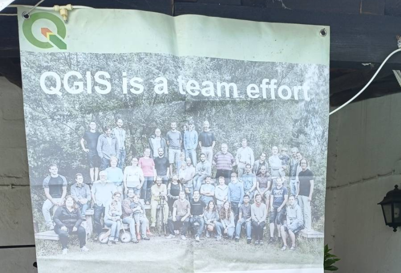
COMMUNITY FIRST
What are the
highlights?
Smart Maps
High-precision mapping anywhere
- 🗺️ Location tracking & geofencing
- 📍 Full QGIS symbology on mobile
- 🎯 Optimized for spatial field tasks

Powerful Forms
Complex logic, simple interface
- 📝 Build in QGIS, no coding
- ⚙️ Logic, constraints, defaults
- ✅ Clean, validated field input

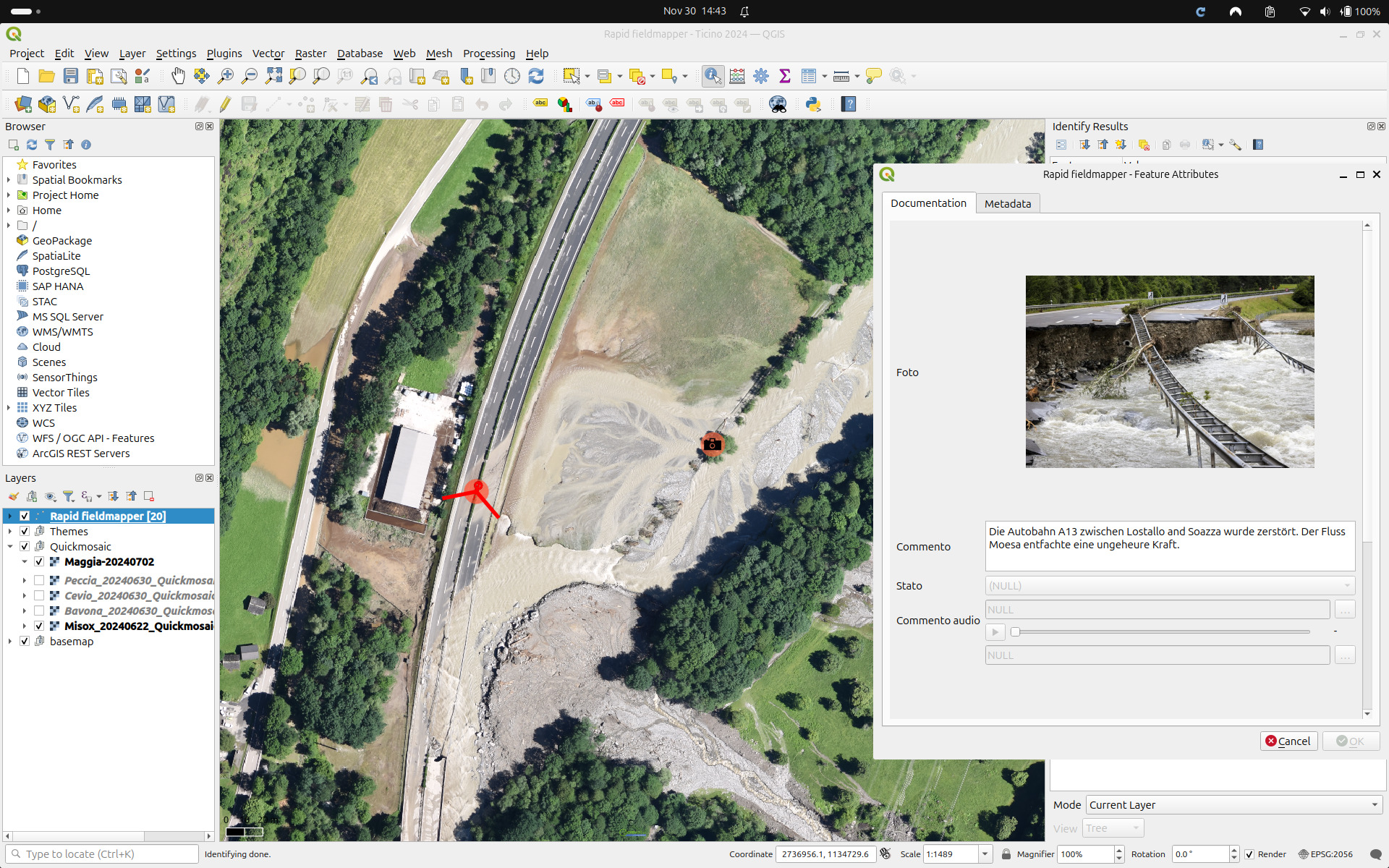
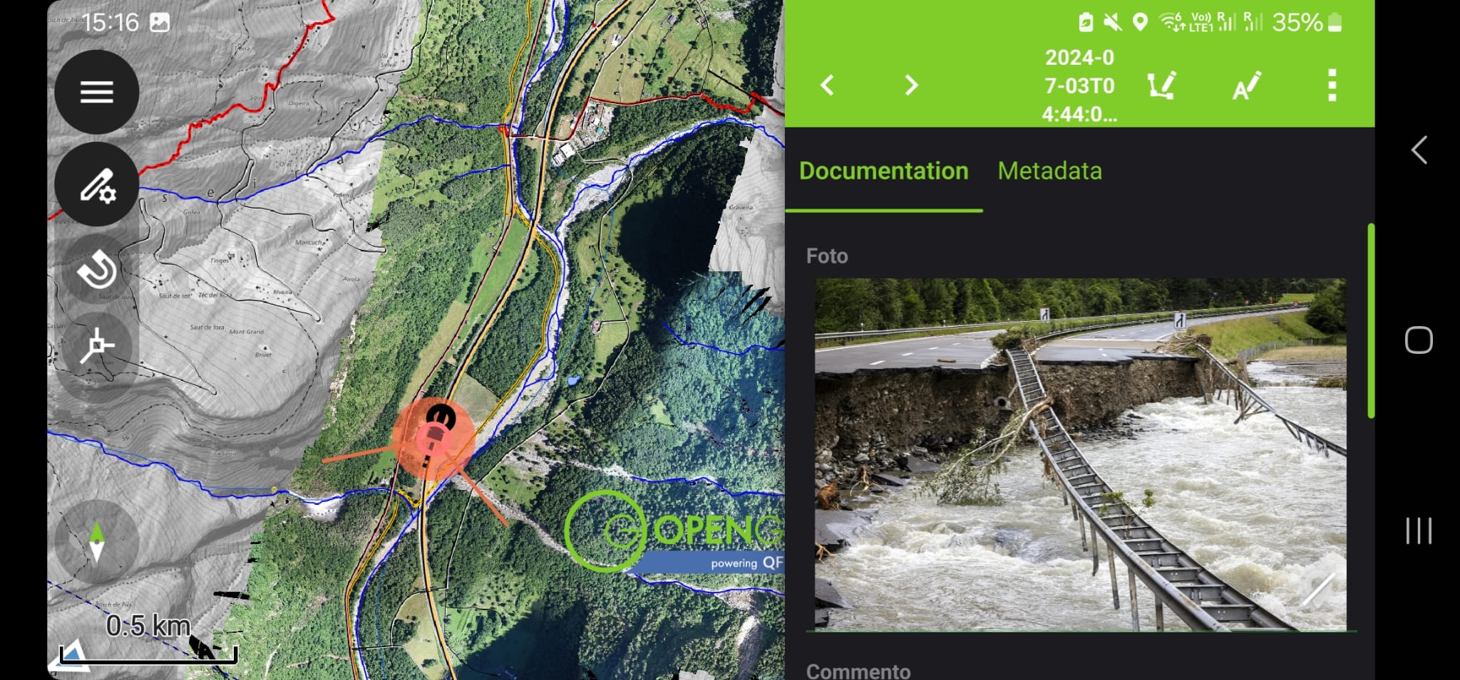
Capture Everything
Media-rich data collection
- 📷 Photos & video
- 🎙️ Audio notes
- 🔍 QR codes & NFC scanning

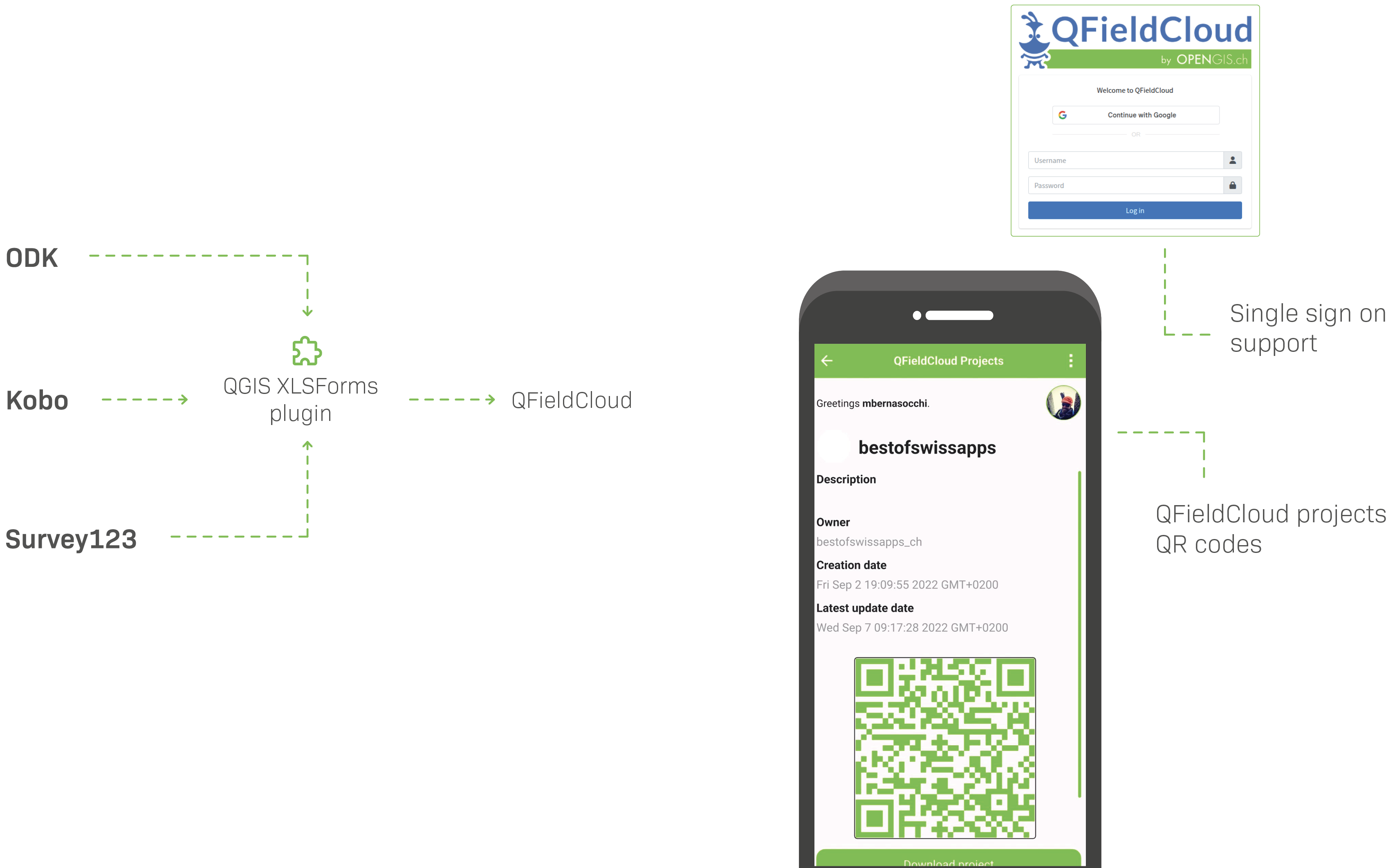
Seamless Sync + Format Support
Connected workflows, open formats
- 🔄 Sync with QFieldCloud
- ☁️ Work offline & online
- 📦 GPKG, KML, GPX, PDF, more
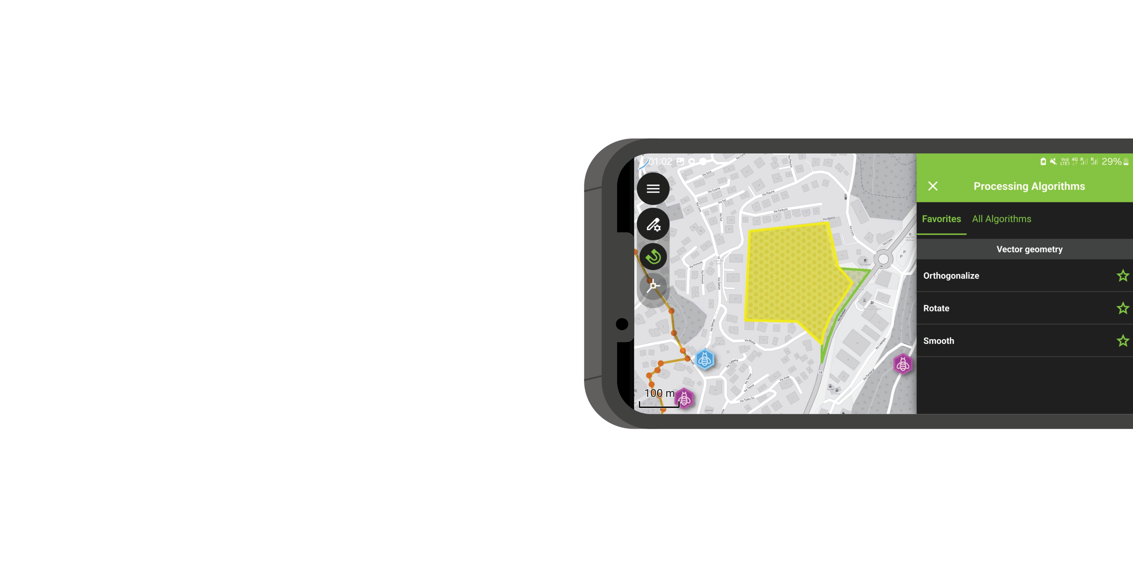
Editing & Processing Tools
True field editing power
- ✏️ Snap, draw, reshape
- 📐 Vertex editing
- 🧮 Geometry ops in the field

Plugin Support
Customize QField your way
- 🔌 QML & JavaScript plugins
- 🛠️ Custom workflows
- 🚀 Extend functionality as needed
CONVENIENCE, CONVENIENCE, CONVENIENCE
Easily migrate your XLSForms into QField projects with our new QGIS plugin
How does it
work?
Design project
in QGIS
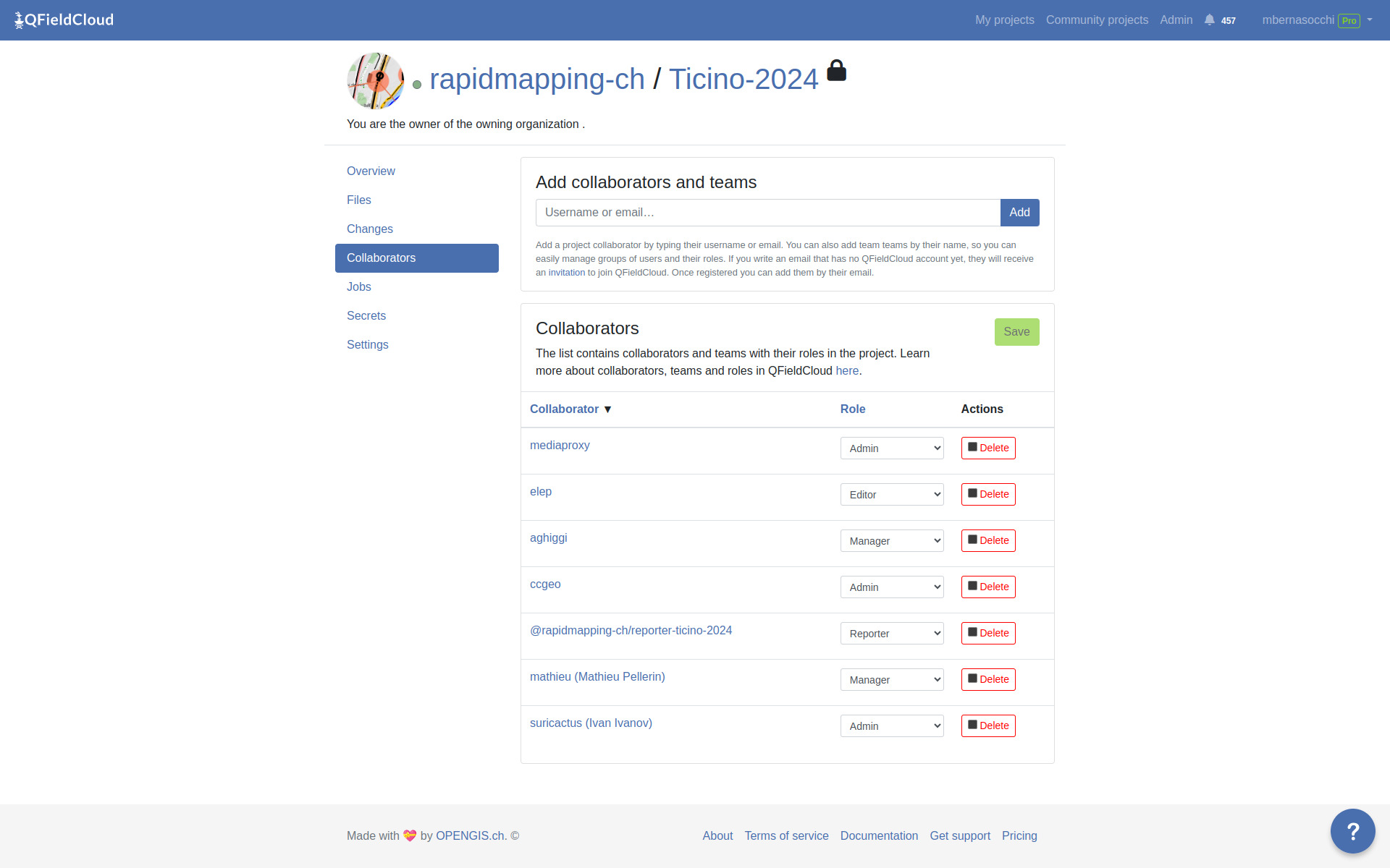
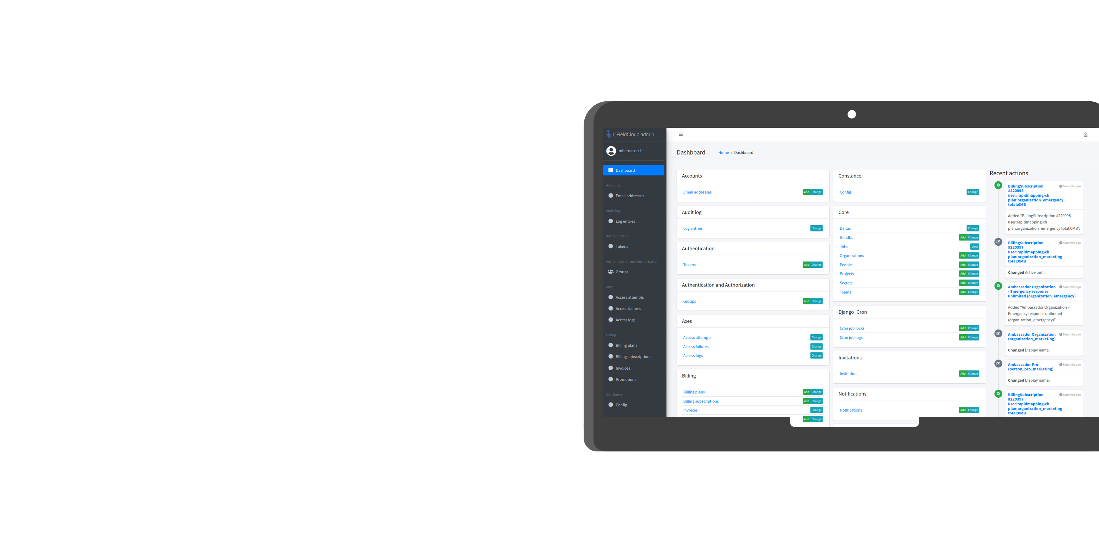
Manage teams
with QFieldCloud
Get data
From QField
Publish data
With Georama/Geogirafe
Where does it
help?
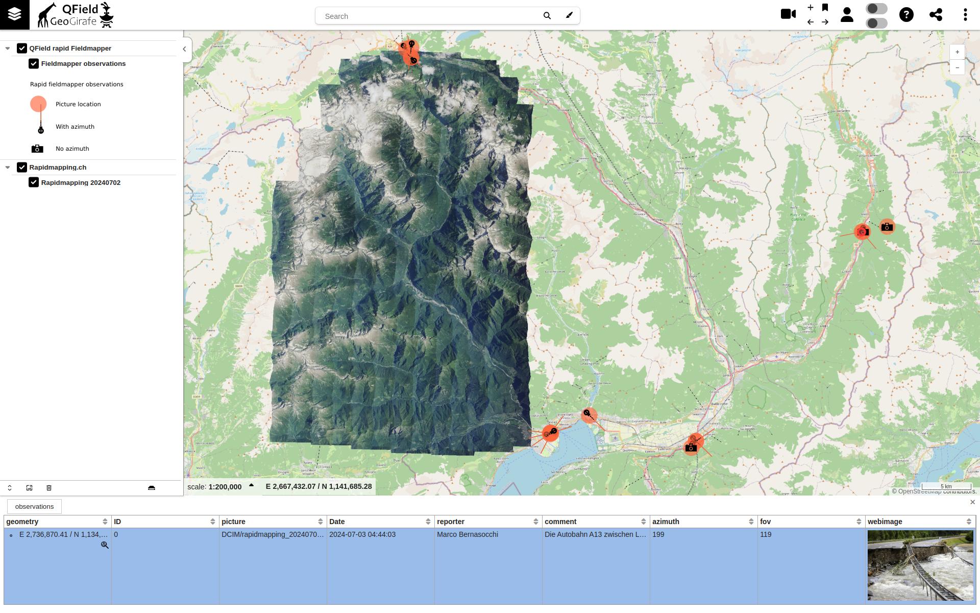
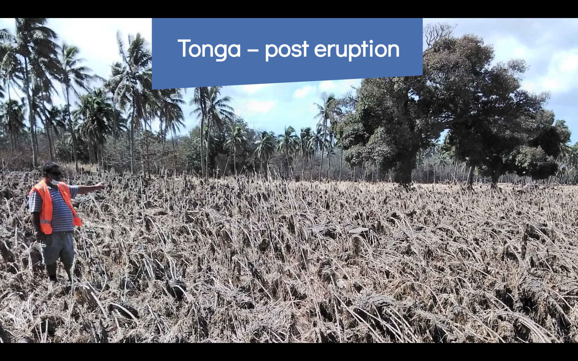
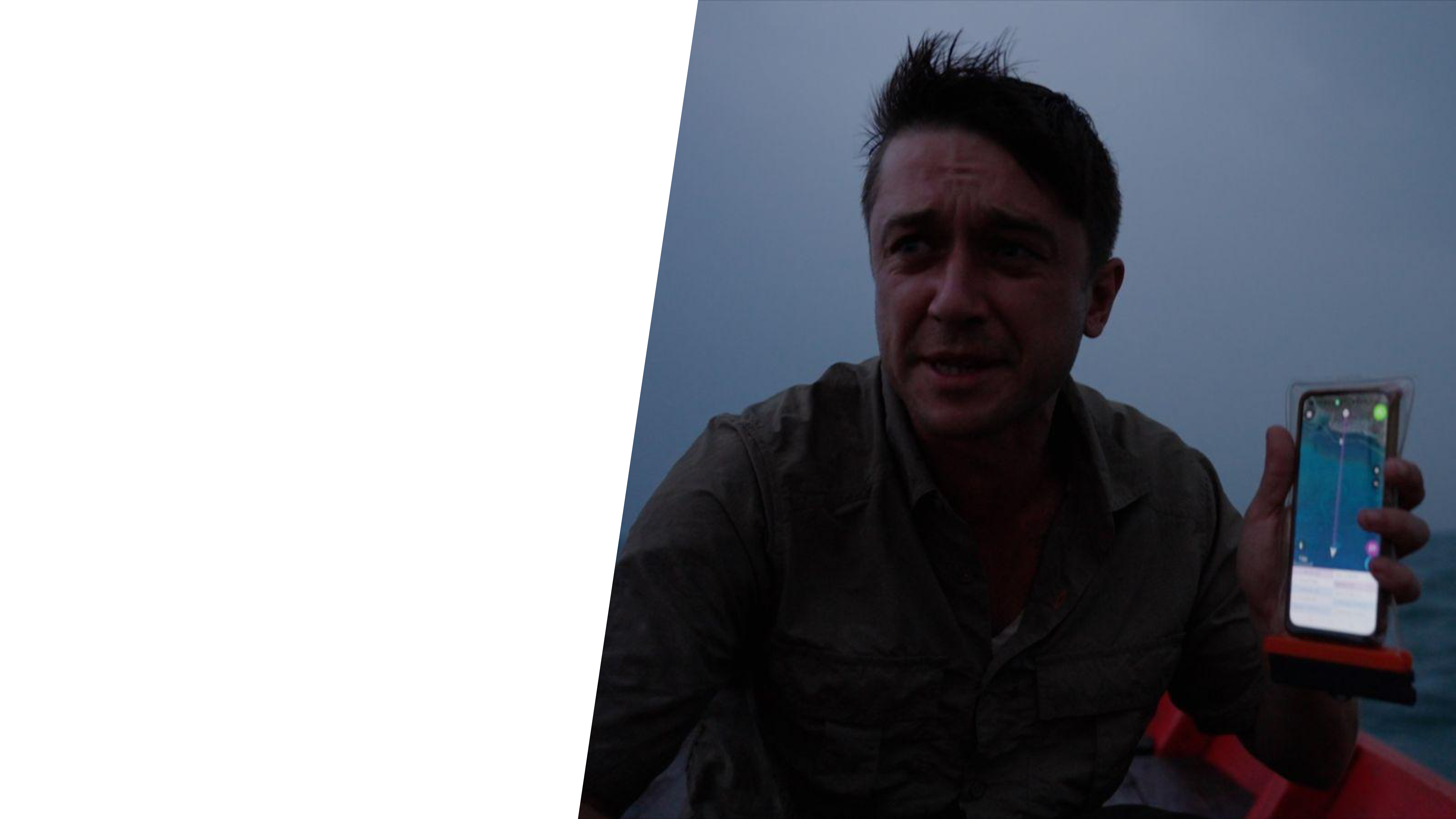
Disaster recovery
TONGA 2022
HOTOSM
Field tasking manager
NATIONAL LAND SURVEY
FINLAND
KULTURRETTER
DAI
– Workflow to collect and manage data for the emergency rescue of cultural heritage
– Camera that includes geotagging (inc. compass), and details stamping

MONGA BAY
Online publication
– Tracking for own safety and to gather
evidence of enviromental destruction
within protected areas
– Free to use, no hidden strings
– low barrier of entry
(i.e. can open a georeferenced PDF)
COSTA RICA
NATIONAL WASTE WATER MANAGEMENT
- On-premise QFC
- Custom forms
Why do we
do it?
Because
It Matters Beyond Us
- Technologically better
- Open source is a real business opportunity with fantastic side-effects
- Digital soveregnity
- Public money → public code
- Developers can make a living while staying open
Because
Be non-bandits
Because
Do good
QField maps everything
that matters to you
What data do you care about?
QField.org | QField.org/blog | LinkedIn QField | LinkedIn OPENGIS.ch | Contact Us